Nieuwendammerdijk and Geography
This is a tale of geography. It is a tale about space and how important that is for our understanding of the social reality around us. In academic terms, you would say: spatial causality. What that means? Good question. It means how the physical space around us affects everyday life. Most of the time, researchers look for explanations within either the historical background (historical causality) or the current social circumstances (sociological causality). Although highly relevant, not that many use a real spatial perspective to shed light on certain urban issues. And that’s a shame. At least, that is what great urban thinker Edward Soja argues in his book Seeking Spatial Justice (2010). And I am perfectly fine with following his bright thinking.
This article will show you why place (and geography for that matter) is so important to understand the world around us. It will succeed in that by using a case of modest rurality within the urbanity of Amsterdam: the case of the Nieuwendammerdijk. This article comes out of my own (ethnographic) research done in 2010.

Lets get acquainted with the Nieuwendammerdijk.

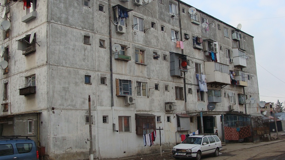
As can partly be seen from the map (the yellow line resembles the Nieuwendammerdijk), the community consists of a 1.5 km extending dike/embankment, protecting Amsterdam from getting flooded after 1516. Up until the 1950s, it has been a village in itself, called Nieuwendam. A village where seamen established themselves since the Dutch Golden Age (1600 – 1650). Nieuwendam had a clear social stratification through the built environment: at the start, the poorer seaman lived, whereas the further you got to the Eastern part, the ultimate wealthy had their captain houses (hilariously called the Golden End of the Dijk). This history in housing prices and plots of land can still be seen on the Nieuwendammerdijk.

It was annexed by Amsterdam in 1921 and hence lost its own autonomy. Nieuwendam became Nieuwendammerdijk. Inhabitants stayed ‘Nieuwendammer’. Five years later, it truly became encapsulated with the development of the large Garden City ‘Nieuwendam’ (see the straight built pattern on the map), primarily inhabited by the lower segments of the Amsterdam society.
As the aesthetics of the historical dike houses were highly appreciated by the urban elite, the Nieuwendammerdijk got extremely ‘gentrified’ (a process whereby initial and lower class inhabitants get pushed out from their neighbourhood due to rising housing prices) in the 1970s and 1980s.

Although large parts of the initial inhabitants have left the Nieuwendammerdijk and were substituted by a new urban elite, it still is a real community. People know each other, participate in common social activities, and perceive themselves as a ‘Nieuwendammer’. They have a strong sense of belonging and identify themselves with the place where they live. Probably what exemplifies this communal sense the best is the wide presence of sharing house keys among neighbours: a sign of trust and mutual interest.
Let’s make it clear once more: we are talking about an urban area, with predominantly urban inhabitants. But as can be seen, the Nieuwendammerdijk comes closer to a rural village than an urban neighbourhood. As several Nieuwendammers were eager to point out to me: ‘This dike really is a town within the city.’ But how come this urban neighbourhood works as a community this much?
I argue that it is space that does the job.
Place, or geography for that matter, changes the way we look at things and helps us distinguish certain places from others. And the Nieuwendammerdijk happens to be one of those places which shows this phenomenon at best. There are several reasons for this.
The first, and most important reason is the fact that the Nieuwendammerdijk is an old embankment. It clearly stands out from the rest: it is elevated from all the surrounding lower-lying ‘polders’. You look up to it, and whatever direction you come from, you have to walk, cycle, or drive upwards.
The second reason is the way the street runs. For it is a one-and-a-half kilometre long embankment, it is just one slender street, surrounded by houses on either side. This makes you feel like being watched by all the big-windowed households on the left and right. It is a dramatic change, coming from the wider streets in the surrounding neighbourhoods.
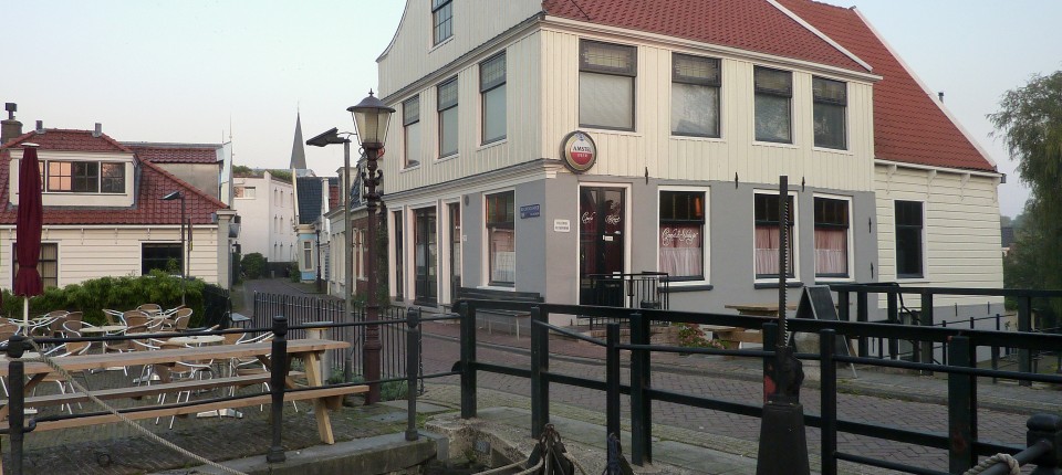
The third reason is the homogeneity of the individual houses on ‘de dijk’. The surrounding neighbourhoods have a wide variety of housing styles: low-rise, high-rise, and mid-rise. It basically covers the whole variety of Amsterdam housing types (built up from the 1920s to the 2000s), whereas the Nieuwendammerdijk encapsulates an outstanding housing type: an aesthetically beautiful ‘dijkhuis’ from long ago (1600s), which is so extraordinary and atypical, it immediately feels like you are entering a new space.
What I am saying here is that when you enter the Nieuwendammerdijk, something happens to you. You feel that you’re in an area which is dramatically different from the outside. You see the difference. You recognise the difference. And that’s what geography does. It distinguishes one place from the other, and does that so significantly. Well, it’s clear: geography matters.